


El Cinquè Llac by MTB
A route to cycle without any worries that passes through some of the least known valleys in the Pyrenees: the Vall Fosca, Vall de Manyanet, Vall d’Adons and Pla de Corts.
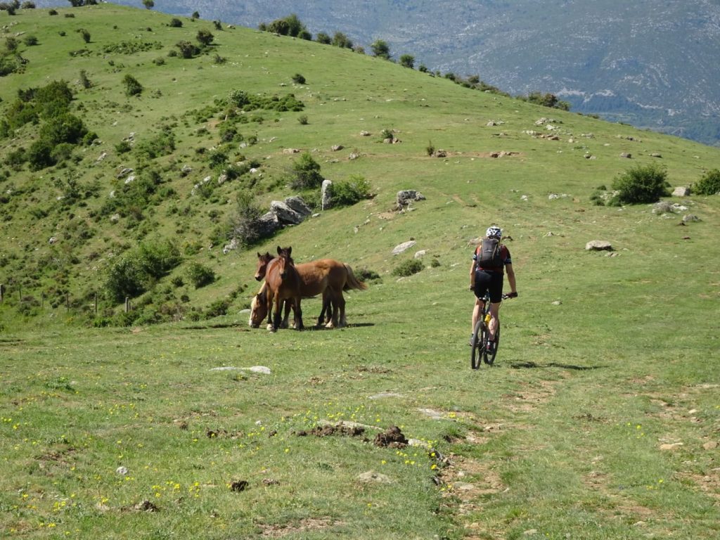
A route to be completed by mountain bike or electric bike that follows secondary roads and good riding tracks.

The route is followed independently using the signs on the ground and the support materials.
5 stages with a total distance of 172 km.
Accumulated variations in altitude:
+ 5,930 m | – 5,670 m
Technical difficulty:
medium (and high in some sections).

WHAT DO WE OFFER YOU?
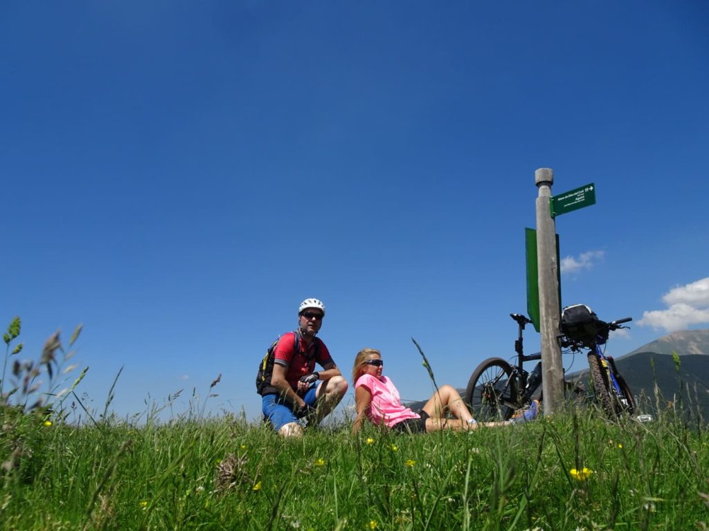
- Transfer of luggage from rural house to rural house.
- A map and a book of the route.
- GPS tracks.
- And the other services included in the package
REQUIREMENTS
- Good physical condition and the ability to overcome steep slopes.
- Your own bicycle with all the associated equipment (helmet, tools, etc.), although there is the option of renting at La Pobla de Segur.
- Knowing how to orient yourself with a map and/or a GPS.

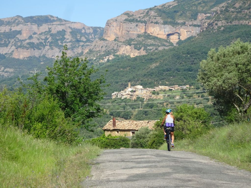
Leave La Pobla de Segur (just over 500 m) and follow minor roads and good tracks until you reach Roc de Sant Aventí at almost 1,500 m. The climb then has its well-deserved reward: a downhill stretch to El Pla de Corts, a land of dolmens and ancient trails that is mute witness still to the people that once lived in this privileged place, halfway between the Pyrenees and the pre-Pyrenees. Like its former residents once did, from here we cross a series of wonderful ridges such as the Geganta Adormida (the Sleeping Giantess) and follow paved trials (if only the stones could talk …!) on our bikes, an unbeatable way to enjoy such a marvellous part of the world. And, what better way to end the day’s ride along these tough trails than a welcome in the walled medieval village of Peramea?
Distance: 34 km
Total ascent: 1.170 m
Total descent: 785 m
Maximum height: 1.440 m
Minimum height: 530 m
Difficulty: Moderate

If the previous stage passed through a transition area between the Pyrenees and its foothills, then this stage enters fully into the heart of the Pyrenees. You climb up the deep Ancs valley, surrounded by towering mountains, to the summit of Tossal de Sant Quiri (1,834 m), from where there are truly spectacular views of the headwaters of La Vall Fosca. From here, your route takes you down to La Vall Fosca along peaceful high-level tracks and solitary verdent paths that were once busy with people travelling from one bucolic village to another. The dry-stone walls and stretches of paved trail are, nevertheless, the only surviving traces of this splendid past. Your route along these age-old trails is not just a question of simple personal enjoyment for, with every pedal you take, you highlight their historical importance and, as toruists, help breathe fresh life into these paths that required so much effort to build.
Distance: 35 km
Total ascent: 1.400 m
Total descent: 1.275 m
Maximum height: 1.834
Minimum height: 856
Difficulty: Mitjana

The previous stage entered La Vall Fosca over the renowned Coll de Sant Quiri; this stage now leaves La Vall Fosca via an equally well-known pass, El Coll d’Oli, on whose final climb you will have to dismount and carry you bike up to the top. Beforehand, however, you will have ridden parallel to the river Flamisell, the backbone of this narrow valley, which at the beginning of the past century was tamed by a series of HEP stations in its upper reaches to generate light for the whole of Catalonia. Later, you pass through phantasmogorical villages abandoned by the passing of time en route to the spectacular Pont del Diable, the Devil’s Bridge, built over a deep gorge carved out by the river from layers and layers of conglomerate rock. The legend says that the bridge was built by the Devil in a single night’s work … But, to avoid being caught by nightfall in this diabolic place, hurry on along a twisting path that will delight the most intrepid as it winds on to Senterada. Once you have got your breath back, there is still a stretch of road, track and paths to navigate, through forests and small mountain villages, until you reach Les Esglésies, a peaceful end to this stage.
Distance: 37 km
Total ascent: 1.250 m
Total descent: 1.220 m
Maximum height: 1.545 m
Minimum height: 730 m
Difficulty: Moderate

Once again you will pedal through a landscape of transition between the Pyrenees and its foothills, through lost villages, some abandoned, on the frontier between the counties of L’Alta Ribagorça and El Pallars Jussà. You’ll pass through stunning, solitary scenery, far from the tourist crowds, full of subtleties and charm, and ideal for a great day’s mountain biking: Prat d’Hort, Coll de Perves, Corroncui, Pinyana, the valley of the river Cadolla, Naens and so forth. Places of harsh beauty follow on, one after another, until you reach the picturesque village of Cérvoles, high on a ridge top, from where you start a fantastic downhill stretch down the old mule trail to Senterada, the end point of this fascinating stage.
Distance: 33 km
Total ascent: 950 m
Total descent: 1.250 m
Maximum height: 1.490 m
Minimum height: 730 m
Difficulty: Moderate

In this final stage you climb up to the village of Puigcerver and then on to the fifth lake, Lake Montcortès, situated in the centre of the charming Pla de Corts. This is a good place to rest to prepare for the climb up to Roc de Sant Aventí (which you passed by on the first stage). From here, you have a long downhill section to the town of La Pobla de Segur, through Montsor, an abandoned village whose walls stoically resist the passing of the years and refuse to crumble. Located in a wild and lonely spot, it is a perfect viewpoint over the county of El Pallars Jussà to the Sant Antoni reservoir and, on a clear day, Cellers reservoir and the distant ridge of El Montsec, the southern frontier of this county. From here, you take a track that links to the old trail to Montsor, an important element of local cultural heritage. This ancient and highly strategic part of the region’s network of paths and trails combines straightforward stretches with more technical descents. And, if you have to dismount, the beauty of the trail and the spectacular views it offers is more than ample compensation.
Once down in La Pobla de Segur, a final effort awaits you: after a pleasant stretch along the shores of the Sant Antoni reservoir, the testing climb up to the village of Claverol represents a final challenge. However, once there you will have reached the end of the stage and this adventure. Congratulations on having finished the Cinquè Llac by bike!!
Distance: 33 km
Total ascent: 1.160 m
Total descent: 1.140 m
Maximum height: 1.440 m
Minimum height: 505 m
Difficulty: Moderate/Height

Additional information
: in La Pobla de Segur, next to the railway station, you will find the El Pallars Jussà MTB centre, a welcome point where you can get more information and where you will find various specialised services (changing rooms and showers, a machine for self-repairs, etc.)
Do you want to experience El Cinquè Llac with something extra?
Do it with a professional guide! They’ll make the route more comfortable, safe, and peaceful. Plus, they’ll help you better understand the landscape, history, and all the secrets hidden along this unique journey. You’ll walk, discover, and learn like never before.
Can you imagine doing El Cinquè Llac at your own pace?
We tailor the route to your needs. We can adjust dates, add rest days, shorten stages, or split them across different stays. Tell us what you have in mind, and we’ll make it happen together! You set the pace, we’ll be with you all the way.